
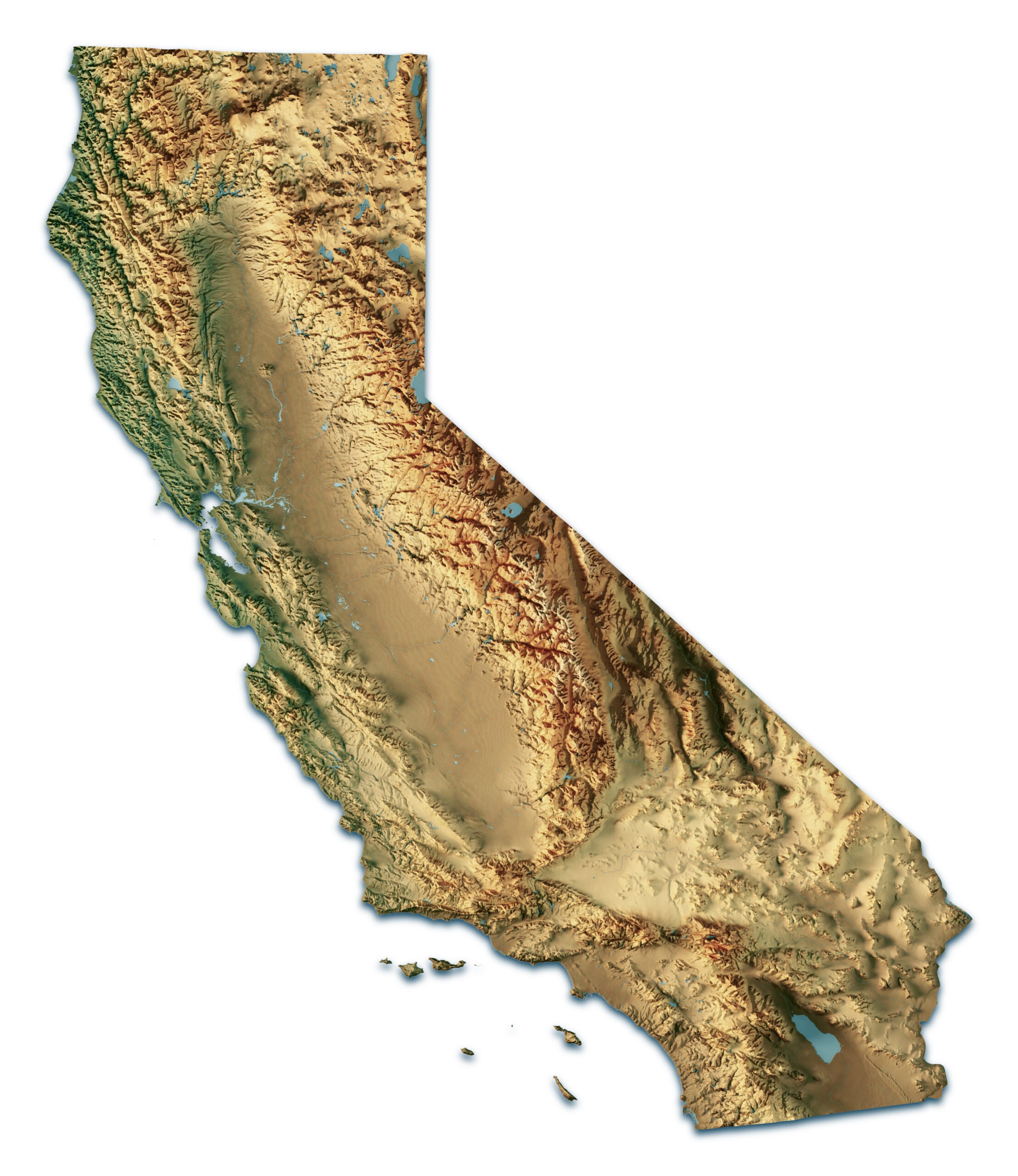
Stand on the low ground east of Turlock, or drive the long straight stretch of Highway 99 between Modesto and Merced, and the logic of the place begins to reveal itself. The land opens into an immense plain, flat enough to feel almost deliberate, framed by mountains on both sides and stretching north and south beyond the horizon. At dusk, the Sierra catches the last light while the basin floor settles into shadow. It is one of California’s defining landscapes, yet also one of its least understood.
The Central Valley — also called the Great Valley, and in its southern reaches the San Joaquin Valley — is roughly 450 miles long and 40 to 60 miles wide. It feeds cities, anchors industries, carries freight, stores water, and supports millions of lives. Yet for all its importance, it is still too often treated as background: the space between the coast and the mountains, the practical middle of a state more famous for beaches, cliffs, redwoods, and urban skylines.
But the Valley is not incidental. It is foundational.
To understand why this place matters so much, it helps to begin with a simple question: why does it exist at all? Why is there a vast, flat, fertile basin in a state otherwise defined by dramatic coastline, rugged ranges, and steep relief?
The answer lies in deep geologic time — in plate tectonics, ancient seas, rising mountains, and the slow work of water and sediment over tens of millions of years. The Central Valley exists because California’s middle was shaped as a structural depression between great geologic systems, then gradually filled, leveled, and transformed into one of the most usable landscapes on Earth.